When the National Oceanic and Atmospheric Administration (NOAA) released its 2025-2026 Winter Outlook on October 16, 2025, few expected the season to turn so sharply cold. But by November 21, after a series of atmospheric anomalies and updated model runs, the Climate Prediction Center (CPC) issued a stark update: "Below Normal Temperatures Likely for Portions of the CONUS to end November and Begin December." The twist? It’s not just one factor—it’s the collision of a weakening La Niña in the Pacific and a destabilized Polar Vortex over the Arctic. Together, they’re setting up what meteorologists are calling one of the most disruptive winters in recent memory.
What’s Driving This Winter’s Chill?
NOAA’s data, updated November 13, 2025, shows a 71% chance of La Niña persisting through the October-December window, dropping to 54% by December-February. Even as the odds fade, the atmosphere isn’t waiting. The Polar Vortex—a massive, high-altitude wind current that normally traps Arctic air—has begun to wobble. A major stratospheric warming event in late November is expected to split it, sending tongues of subzero air plunging southward. As the YouTube meteorologist behind the Final Winter Forecast 2025-2026 put it: "We’re really really confident in this for the Northern Plains, Midwest, Ohio Valley, Great Lakes..." The confidence isn’t hype. It’s backed by satellite data showing suppressed convection near the Date Line and enhanced convection over Indonesia—classic signs of a lingering La Niña.Who’s Getting the Cold, and Who’s Getting the Warmth?
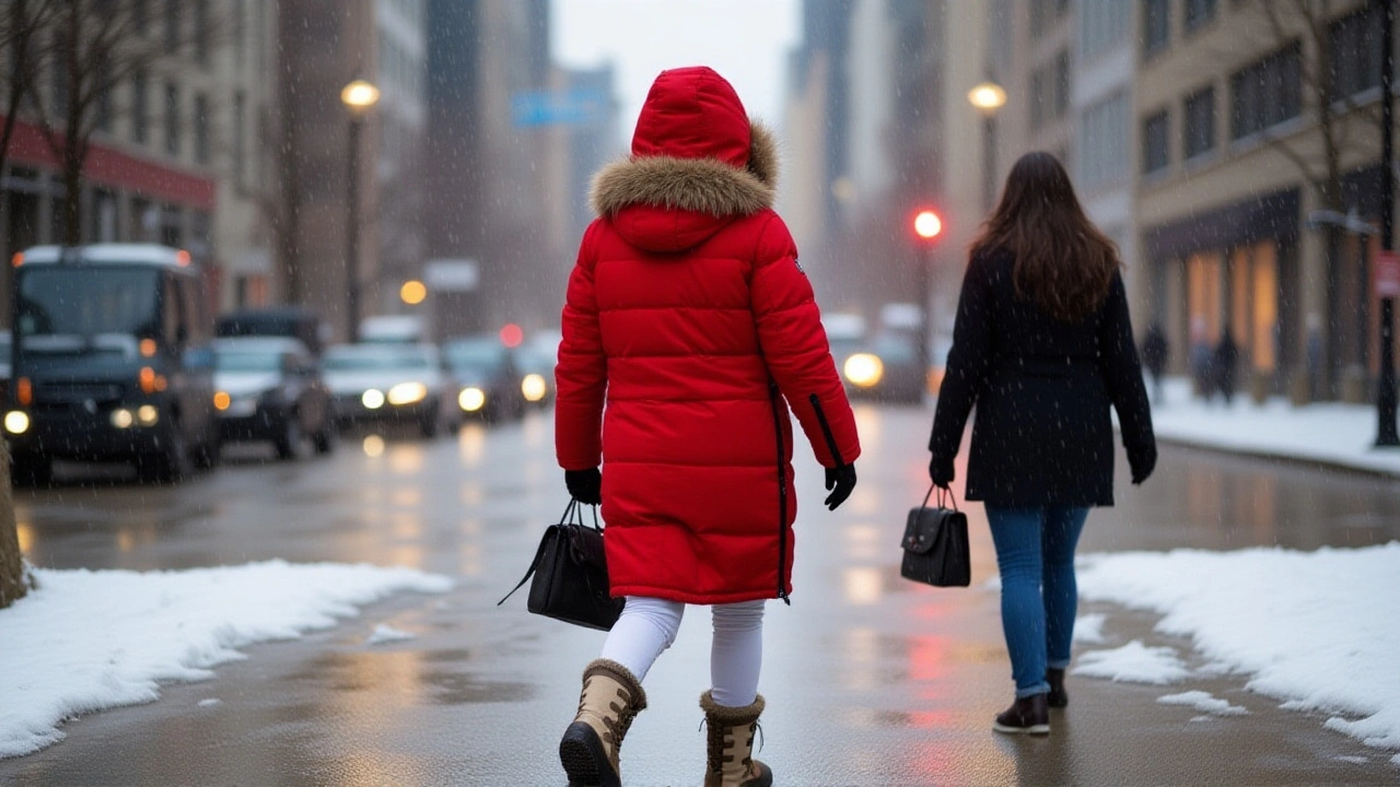
This winter won’t be uniform. The Great Lakes, northern Plains, and Mid-Atlantic are bracing for prolonged cold snaps, with snowfall likely to exceed seasonal averages. The Pacific Northwest is also in for wetter-than-normal conditions as storm tracks shift northward. Meanwhile, the Southern United States—from Texas to Florida—will see unusually mild, dry weather. "It’s a pretty severe split," the forecast analysis noted. "Very active in the northwest, very mild in the southwest." In Canada, western regions like British Columbia and the Yukon will face extended cold, while southern Ontario and Quebec may see alternating bouts of snow and brief thaws. Europe, particularly the British Isles and Scandinavia, is expected to experience drier-than-average conditions, but with colder-than-normal air surging in from the northeast. The severe-weather.eu team predicts a persistent high-pressure ridge over the North Atlantic, blocking milder Atlantic air and funneling Siberian cold into central Europe.Why This Winter Feels Different
Historically, La Niña winters in the U.S. have trended warmer over the past two decades, thanks to long-term climate warming. NOAA’s Climate.gov notes that the last ten La Niña events saw milder temperatures than the first ten since 1950. But this year, the Polar Vortex disruption is overriding that trend. "A weaker La Niña tends to have a looser grip," explains Climate.ncsu.edu. "That gives other patterns room to play." And right now, the Arctic is playing hard. The Polar Vortex split, expected in late November, could trigger the first major cold outbreak by mid-December. This isn’t just a cold snap—it’s the kind of event that leads to record snowfall in the Ohio Valley and ice storms in the Mid-Atlantic. "We’re seeing the building blocks for unusually far south snow events," the forecasters warn.What This Means for Daily Life
For families in the Great Lakes region, this could mean higher heating bills, school closures, and delays in freight and air travel. Utility companies in Minnesota, Wisconsin, and New York are already preparing for peak demand. Farmers in the northern Plains are rushing to protect livestock and stored grain. Meanwhile, ski resorts in Colorado and British Columbia are celebrating early snowpacks—some reporting over 30 inches by Thanksgiving. In Europe, energy providers in Germany and Poland are stockpiling natural gas, anticipating higher imports from Norway and the Nord Stream corridor. The UK is bracing for wind-driven power outages as storms shift away from the Atlantic.What Comes Next?
The next critical window is December 10–20, 2025, when the Polar Vortex split is expected to manifest. The Climate Prediction Center will issue its eight- to fourteen-day outlooks in early December, which will confirm whether the cold surge materializes as predicted. If it does, we could see the first major winter storm of the season by mid-December—possibly impacting cities like Chicago, Pittsburgh, and Philadelphia with 6–12 inches of snow. The transition to ENSO-neutral conditions by January-March 2026 (61% probability) could bring temporary relief, but experts warn the Arctic may remain unstable. "The system is still out of balance," says Dr. Elena Ruiz, a climatologist at the University of Michigan. "We’re not done with cold yet. This winter’s story isn’t over in December—it’s just getting started."Historical Context: Is This Normal?
The last time a similar combination occurred was the winter of 2013–2014, when the Polar Vortex split sent record cold into the Midwest and Northeast, with Chicago hitting -27°F. That winter ended with 90+ inches of snow in Buffalo and 100+ in Syracuse. While 2025–2026 isn’t expected to match that intensity, the pattern is eerily similar. And unlike 2013–2014, today’s infrastructure is more strained—aging power grids, supply chain fragility, and population growth in cold zones mean even moderate snowfalls carry heavier consequences.Frequently Asked Questions
How does this winter affect heating costs and energy demand?
The Great Lakes and Midwest regions are projected to see heating demand rise 18–25% above seasonal averages, according to the U.S. Energy Information Administration. Natural gas prices in the Midwest could spike 30% if the cold persists beyond mid-December, with utilities in Ohio and Pennsylvania already activating emergency conservation protocols.
What’s the likelihood of major snowstorms this winter?
The Ohio Valley and Great Lakes have a 68% chance of above-average snowfall, per NOAA’s precipitation anomaly model. Cities like Buffalo and Detroit could see three to five major snow events between December and February, each dropping 8+ inches. The Upper Midwest may break 20-year snowfall records in some areas.
Why is Europe getting drier despite the cold?
A persistent high-pressure ridge over the North Atlantic is blocking moisture-laden storms from reaching western Europe. While air temperatures drop due to northeasterly winds from Siberia, precipitation decreases—creating a dry, biting cold. This pattern is similar to the 2010 and 2018 European winters, which saw record low rainfall in the UK and France, even as snow blanketed parts of Germany and Poland.
Is climate change making this worse?
Yes—paradoxically. While global warming reduces the frequency of extreme cold, it’s increasing the instability of the Polar Vortex. Warmer Arctic temperatures weaken the jet stream, allowing cold air to spill south more easily. Studies from the National Center for Atmospheric Research show this mechanism has doubled in frequency since the 1990s, even as annual averages rise.
When will we know if the forecast is accurate?
The first major test comes between December 10–20, 2025, when the Polar Vortex split is expected to trigger the first deep cold surge. NOAA’s eight- to fourteen-day forecasts, released every Monday, will confirm whether the model is tracking correctly. If temperatures in Minneapolis or Toronto drop below -15°F for more than three consecutive days, the forecast will be confirmed as highly accurate.
How does this compare to last winter?
Last winter (2024–2025) was the warmest on record for the contiguous U.S., with the Southern Plains and California seeing record heat. This year’s forecast is a sharp reversal—especially in the north. The contrast between last winter’s drought and this winter’s potential snowpack could have lasting impacts on reservoir levels, wildfire risk, and agricultural planting cycles.